NATURALLY PHOTOGENIC
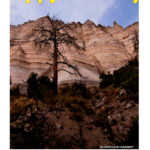
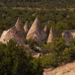
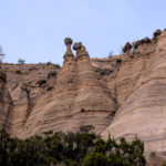
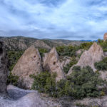
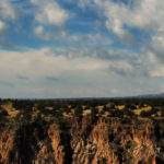
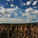
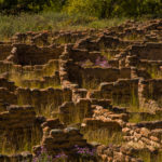
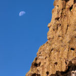
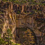
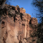
KASHA-KATUWE TENT ROCKS
Kasha-Katuwe is located on the Pajarito Plateau between 5700 and 6400 feet above sea level. The area owes its remarkable geology to layers of volcanic rock and ash deposited by pyroclastic flow from eruptions within the volcanic field of the Jemez Mountains that occurred 6 to 7 million years ago. Many of the layers are light in color, which is the origin of the monument’s Keresan name. Over time, weathering and erosion of these layers has created slot canyons and tent rocks. The tent rocks are composed of soft pumice and tuff. Most of the tent rocks have a distinctly conical shape and some retain their caprocks of harder stone. The tent rocks vary in height from a few feet to 90 feet.
Previous
Next
Gallery

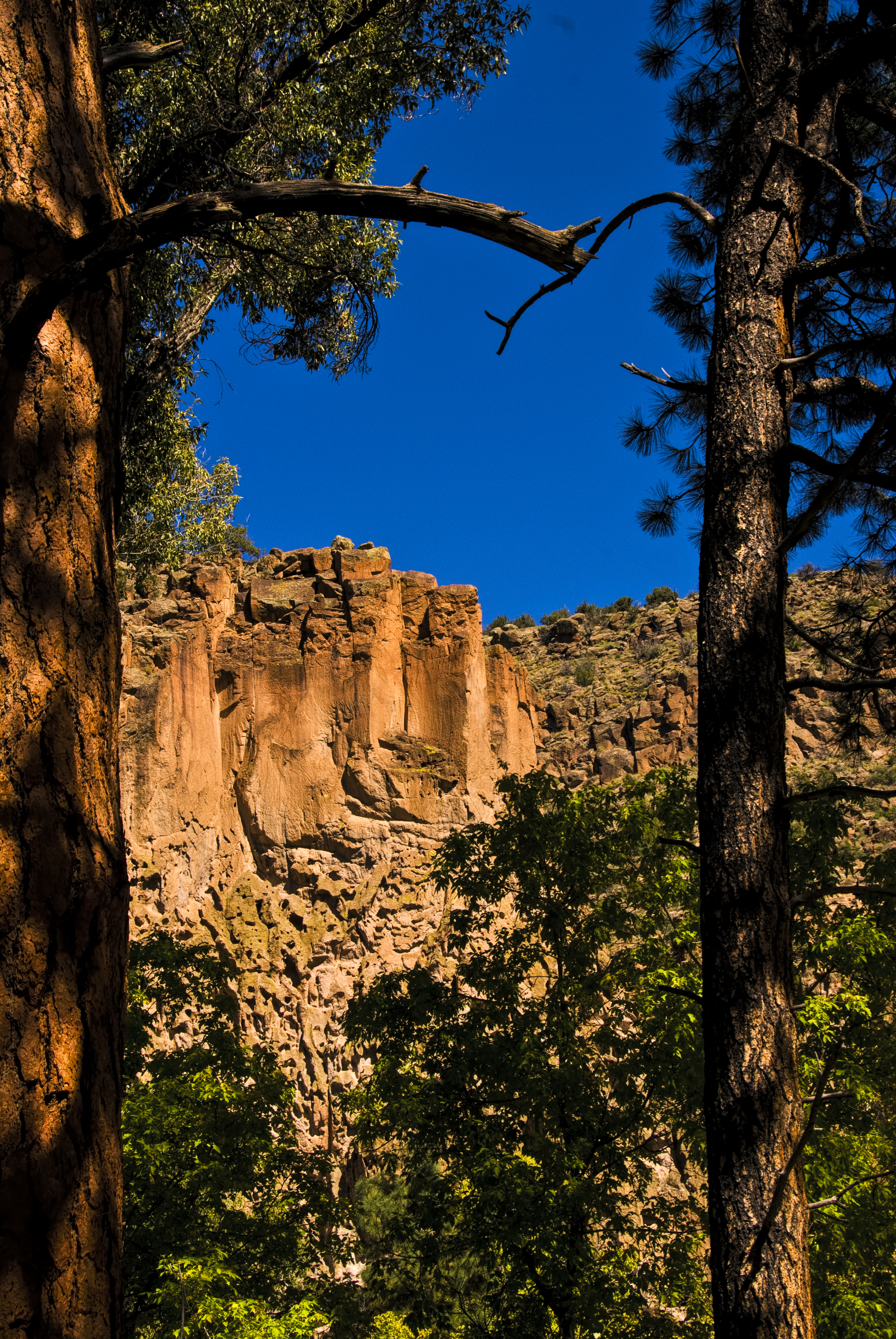
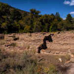
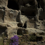
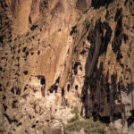
BANDOLIER
“It is the grandest thing I ever saw.”
Bandelier National Monument is a 33,677-acre parknear Los Alamos in Sandoval and Los Alamos Counties, New Mexico. The monument preserves the homes and territory of the Ancestral Puebloans of a later era in the Southwest. Most of the pueblo structures date to two eras, dating between 1150 and 1600 AD
.The human presence in the area has been dated to over 10,000 years before present. Permanent settlements by ancestors of the Puebloan peoples have been dated to 1150 CE; these settlers had moved closer to the Rio Grande by 1550. The distribution of basalt and obsidian artifacts from the area, along with other traded goods, rock markings, and construction techniques, indicate that its inhabitants were part of a regional trade network that included what is now Mexico. Spanish colonial settlers arrived in the 18th century. The Pueblo Jose Montoya brought Adolph Bandelier to visit the area in 1880.

Previous
Next
Gallery
GRAND CANYON
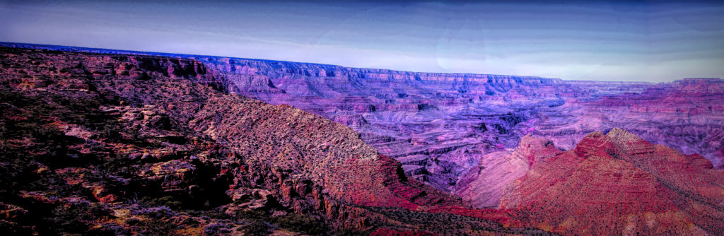
The Grand Canyon is a steep-sided canyon carved by the Colorado River in Arizona, United States. The Grand Canyon is 277 miles and attains a depth of over a mile.
Nearly two billion years of Earth’s geological history have been exposed as the Colorado River and its tributaries cut their channels through layer after layer of rock while the Colorado Plateau was uplifted. While some aspects about the history of incision of the canyon are debated by geologists,several recent studies support the hypothesis that the Colorado River established its course through the area about 5 to 6 million years ago. Since that time, the Colorado River has driven the down-cutting of the tributaries and retreat of the cliffs, simultaneously deepening and widening the canyon.
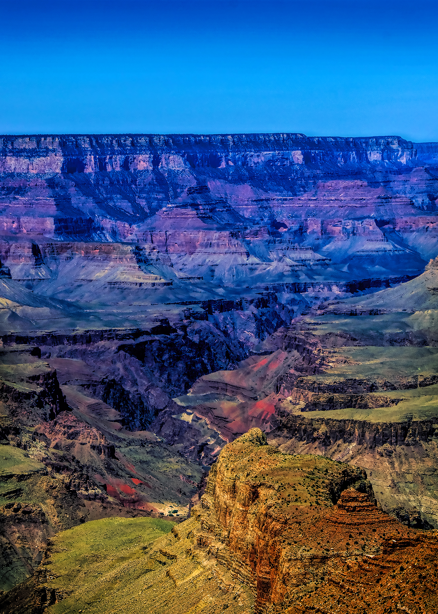
Grand Canyon South face

JUST SAYING . . .
Waiting for some inspirational thoughts